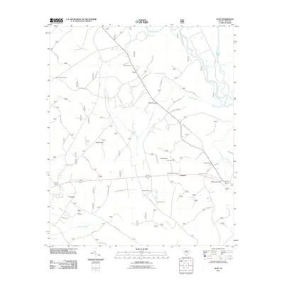
2011 Map of Alvin
USGS Topo · Published 2011About this map
Alvin and the surrounding Berkeley County landscape are defined by the winding course of the Santee River and an intricate network of wetlands and creek branches. The map highlights the intersection of local history and the natural environment, with numerous small burial grounds such as Edens Cemetery, Von Hollen Cemetery, and Johnson Cemetery scattered among the pines and bays. Large natural depressions like Bullhead Bay and Wedboo Bay punctuate the terrain, while the Walleye Hunt Club and the Gravel Hill Lookout Tower suggest the importance of timber and recreation to this Lowcountry community. Settlement is concentrated along rural routes, extending from the village of Alvin down to Calestown, where Wedboo Creek and Meeting House Branch drain toward the river basin.
Find a feature on this map
52 named features on this map. Tap any name to fly to it.
Don’t see what you’re looking for? This feature index may not catch every label — zoom into the map to look around manually.
Map Details
Editions of this 2011 Alvin Map
This is the sole edition of this map. No revisions or reprints were ever made.
Other maps of this area

1919 · Cordesville
USGS Topo · 1:48,000

1943 · Shulerville
USGS Topo · 1:24,000

1943 · Trio
USGS Topo · 1:24,000

1943 · Jamestown
USGS Topo · 1:24,000

1943 · Bonneau
USGS Topo · 1:62,500

1948 · Cordesville
USGS Topo · 1:24,000

1948 · Bethera
USGS Topo · 1:24,000
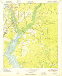
1949 · Cordesville
USGS Topo · 1:24,000

1949 · Georgetown
USGS Topo · 1:250,000
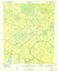
1950 · Bethera
USGS Topo · 1:24,000