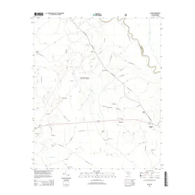
2014 Map of Alvin
USGS Topo · Published 2014About this map
Alvin and the surrounding Berkeley County landscape are defined by the dense wetlands of the Francis Marion National Forest, where the terrain transitions from the Santee River lowlands into expansive bays like Bullhead Bay and Wedboo Bay. The map reveals a deeply rooted rural community, marked by numerous family and church cemeteries such as Edens Cem, Hoods Chapel Cem, and Von Hollen Cem that follow the higher ground near the river. Transportation patterns are dictated by the water, with Wedboo Bridge and Rogers Bridge providing essential crossings over the network of creeks including Wedboo Creek and Savanna Cr. The presence of the Gravel Hill Lookout Tower and the Walleye Hunt Club reflects the long-standing intersection of forestry, conservation, and local recreation in this riverine corridor.
Find a feature on this map
62 named features on this map. Tap any name to fly to it.
Don’t see what you’re looking for? This feature index may not catch every label — zoom into the map to look around manually.
Map Details
Editions of this 2014 Alvin Map
This is the sole edition of this map. No revisions or reprints were ever made.
Other maps of this area

1919 · Cordesville
USGS Topo · 1:48,000

1943 · Shulerville
USGS Topo · 1:24,000

1943 · Trio
USGS Topo · 1:24,000

1943 · Jamestown
USGS Topo · 1:24,000

1943 · Bonneau
USGS Topo · 1:62,500

1948 · Cordesville
USGS Topo · 1:24,000

1948 · Bethera
USGS Topo · 1:24,000
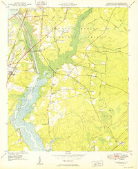
1949 · Cordesville
USGS Topo · 1:24,000

1949 · Georgetown
USGS Topo · 1:250,000
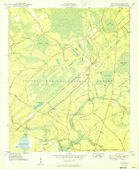
1950 · Bethera
USGS Topo · 1:24,000