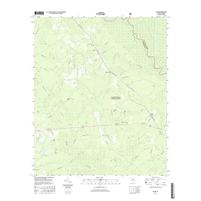
2017 Map of Alvin
USGS Topo · Published 2017About this map
Alvin and the surrounding Berkeley County wetlands are defined by the winding course of the Santee River, which forms the boundary with Williamsburg County. The landscape is a complex network of hydrologic features including Wedboo Creek, Beaver Dam Swamp, and Gregler Swamp. This 2017 survey reveals the quiet, rural character of the area, much of which is protected within the Francis Marion National Forest. Cultural sites are primarily composed of small community cemeteries and places of worship, such as Hoods Chapel and Macedonia Cemetery. Transportation is anchored by local routes like Santee River Road, leading to crossings such as Wedboo Bridge and Rogers Bridge. The map also captures several distinct topographical depressions known locally as bays, including Bullhead Bay, Wedboo Bay, and Walleye Bay, which are characteristic of this coastal plain region.
Find a feature on this map
67 named features on this map. Tap any name to fly to it.
Don’t see what you’re looking for? This feature index may not catch every label — zoom into the map to look around manually.
Map Details
Editions of this 2017 Alvin Map
This is the sole edition of this map. No revisions or reprints were ever made.
Other maps of this area

1919 · Cordesville
USGS Topo · 1:48,000

1943 · Shulerville
USGS Topo · 1:24,000

1943 · Trio
USGS Topo · 1:24,000

1943 · Jamestown
USGS Topo · 1:24,000

1943 · Bonneau
USGS Topo · 1:62,500

1948 · Cordesville
USGS Topo · 1:24,000

1948 · Bethera
USGS Topo · 1:24,000
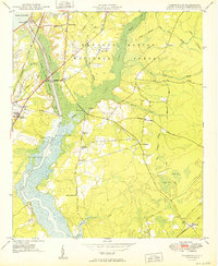
1949 · Cordesville
USGS Topo · 1:24,000

1949 · Georgetown
USGS Topo · 1:250,000
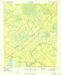
1950 · Bethera
USGS Topo · 1:24,000