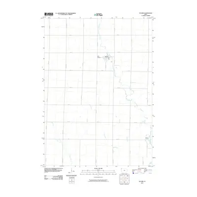
2010 Map of Alvord
USGS Topo · Published 2010About this map
The town of Alvord serves as the central hub of this agricultural landscape in northwestern Iowa, where the grid of county roads meets the meandering course of Mud Creek. At this point in the twenty-first century, the settlement maintains a clear footprint with its residential streets and the Alvord Post Office located near the intersection of Elder Ave and 220th St. To the west of the town center, Saint Marys Cemetery sits along the roadway, while the southeastern corner of the quadrangle is marked by Hillside Cemetery, overlooking the valley where Lizard Creek flows toward the Rock River. The surrounding prairie is defined by a strictly surveyed section-line grid of avenues and streets, such as Dipper Ave and 260th St, which accommodate the agricultural drainage of Dry Run Creek.
Find a feature on this map
25 named features on this map. Tap any name to fly to it.
Don’t see what you’re looking for? This feature index may not catch every label — zoom into the map to look around manually.
Map Details
Editions of this 2010 Alvord Map
This is the sole edition of this map. No revisions or reprints were ever made.
Other maps of this area

1955 · Sioux Falls
USGS Topo · 1:250,000

1958 · Sioux Falls
USGS Topo · 1:250,000

1964 · Hull
USGS Topo · 1:24,000

1968 · Fairview
USGS Topo · 1:24,000
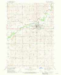
1968 · Rock Valley
USGS Topo · 1:24,000

1971 · Lester
USGS Topo · 1:24,000
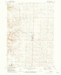
1971 · Inwood
USGS Topo · 1:24,000
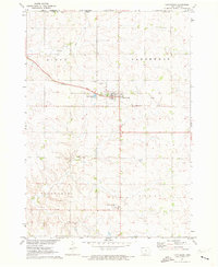
1971 · Larchwood
USGS Topo · 1:24,000

1971 · Rock Rapids
USGS Topo · 1:24,000

1971 · Doon
USGS Topo · 1:24,000