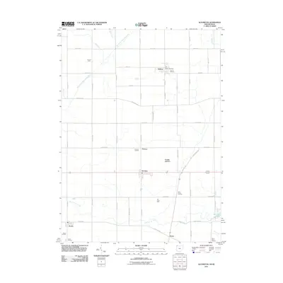
2011 Map of Alvordton
USGS Topo · Published 2011About this map
The East Branch Saint Joseph River winds across this borderland landscape where Hillsdale County, Michigan meets the northern edge of Ohio. This 2011 survey illustrates a region defined by agricultural traditions and dispersed small settlements like Waldron, Alvordton, and Kunkle. The rural layout is dotted with numerous burial grounds of significant genealogical value, including Olive Branch Cemetery, Mount Salem Cemetery, and the Barrett Cemetery.
Find a feature on this map
39 named features on this map. Tap any name to fly to it.
Don’t see what you’re looking for? This feature index may not catch every label — zoom into the map to look around manually.
Map Details
Editions of this 2011 Alvordton Map
This is the sole edition of this map. No revisions or reprints were ever made.
Other maps of this area

1913 · Alvordton
USGS Topo · 1:62,500

1914 · Pioneer
USGS Topo · 1:62,500

1944 · Pioneer
USGS Topo · 1:62,500

1944 · Alvordton
USGS Topo · 1:62,500

1953 · Fort Wayne
USGS Topo · 1:250,000

1956 · Fort Wayne
USGS Topo · 1:250,000

1959 · Frontier
USGS Topo · 1:24,000

1959 · Archbold
USGS Topo · 1:24,000

1960 · Fayette
USGS Topo · 1:24,000
1961 · Pioneer
USGS Topo · 1:24,000