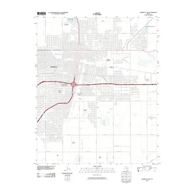
2010 Map of Amarillo East
USGS Topo · Published 2010About this map
Amarillo serves as the focal point of this study, revealing the dense urban planning and expansion of the High Plains city during the early 21st century. The map highlights several preservation-worthy areas, including the Wolflin Historic District and the Llano Cemetery Historic District, which provide important spatial context for local genealogy and architectural history. The transportation infrastructure is characterized by a series of aviation facilities such as Tradewind Airport, Palo Duro Airport, and Osage Airpark, reflecting the region's historical reliance on air travel across the Texas Panhandle.
Find a feature on this map
53 named features on this map. Tap any name to fly to it.
Don’t see what you’re looking for? This feature index may not catch every label — zoom into the map to look around manually.
Map Details
Editions of this 2010 Amarillo East Map
This is the sole edition of this map. No revisions or reprints were ever made.
Other maps of this area

1934 · Cliffside
USGS Topo · 1:62,500

1936 · Cliffside
USGS Topo · 1:62,500

1953 · Pleasant Valley
USGS Topo · 1:24,000

1953 · Mayer
USGS Topo · 1:24,000

1953 · Cliffside
USGS Topo · 1:24,000

1954 · Amarillo
USGS Topo · 1:250,000

1956 · Amarillo East
USGS Topo · 1:24,000

1956 · Thomas Ranch
USGS Topo · 1:24,000

1956 · Pullman
USGS Topo · 1:24,000

1958 · Amarillo
USGS Topo · 1:250,000