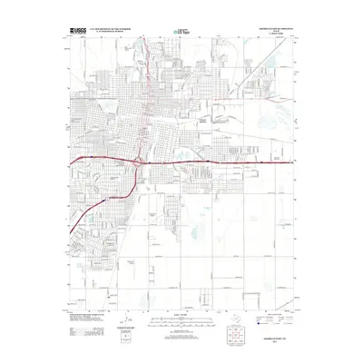
2012 Map of Amarillo East
USGS Topo · Published 2012About this map
The US Route 66-Sixth Street Historic District serves as a prominent anchor for the urban character of this Texas landscape, illustrating the historical intersection of mid-century transit and local commerce. The city's growth is further defined by residential and civic landmarks, including the Wolflin Historic District and the Plemons-Mrs M D Oliver-Eakle Additions Historic District. To the southeast, the small settlement of Zita and the active grounds of the Tradewind Airport contrast with the sprawling memorial sites such as the Llano Cemetery Historic District. Utility and recreation are represented by the Amarillo Terminal Reservoir and the Tri State Fairground, while the Cpt Augustus McCrae Trl and Cpt Woodrow Call Trl reference regional literary heritage across the plains south of the main city center.
Find a feature on this map
25 named features on this map. Tap any name to fly to it.
Don’t see what you’re looking for? This feature index may not catch every label — zoom into the map to look around manually.
Map Details
Editions of this 2012 Amarillo East Map
This is the sole edition of this map. No revisions or reprints were ever made.
Other maps of this area

1934 · Cliffside
USGS Topo · 1:62,500

1936 · Cliffside
USGS Topo · 1:62,500

1953 · Pleasant Valley
USGS Topo · 1:24,000

1953 · Mayer
USGS Topo · 1:24,000

1953 · Cliffside
USGS Topo · 1:24,000

1954 · Amarillo
USGS Topo · 1:250,000

1956 · Amarillo East
USGS Topo · 1:24,000

1956 · Thomas Ranch
USGS Topo · 1:24,000

1956 · Pullman
USGS Topo · 1:24,000

1958 · Amarillo
USGS Topo · 1:250,000