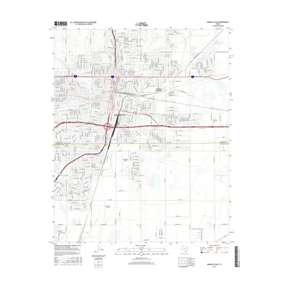
2016 Map of Amarillo East
USGS Topo · Published 2016About this map
Amarillo serves as the focal point of this 2016 survey, showcasing the urban expansion and transportation infrastructure of the Texas Panhandle. The map captures the dividing line between Potter Co and Randall Co, illustrating how the city has grown across county boundaries. Significant transit nodes like Dumas Junction and the intersecting paths of W Amarillo Blvd and E Amarillo Blvd define the commercial and industrial corridors.
Find a feature on this map
139 named features on this map. Tap any name to fly to it.
Don’t see what you’re looking for? This feature index may not catch every label — zoom into the map to look around manually.
Map Details
Editions of this 2016 Amarillo East Map
This is the sole edition of this map. No revisions or reprints were ever made.
Other maps of this area

1934 · Cliffside
USGS Topo · 1:62,500

1936 · Cliffside
USGS Topo · 1:62,500

1953 · Pleasant Valley
USGS Topo · 1:24,000

1953 · Mayer
USGS Topo · 1:24,000

1953 · Cliffside
USGS Topo · 1:24,000

1954 · Amarillo
USGS Topo · 1:250,000

1956 · Amarillo East
USGS Topo · 1:24,000

1956 · Thomas Ranch
USGS Topo · 1:24,000

1956 · Pullman
USGS Topo · 1:24,000

1958 · Amarillo
USGS Topo · 1:250,000