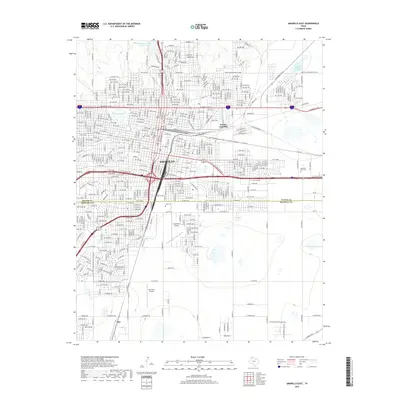
2019 Map of Amarillo East
USGS Topo · Published 2019About this map
Amarillo serves as the focal point of this 2019 survey, illustrating the city's modern layout across the Potter and Randall county line. The urban landscape is defined by a dense grid of residential streets and major thoroughfares such as W Amarillo Blvd and Tee Anchor Blvd. Aviation interests are well-represented by the presence of Tradewind Airport and Palo Duro Airport on the southern side of the city. Beyond the metropolitan center, the map identifies the smaller settlement of Zita to the south. Several water features are noted, including Amarillo Lake and the Amarillo Terminal Reservoir in the northeast. For genealogists and local historians, the inclusion of Llano Cem and Memorial Park Cem provides exact locations for significant community landmarks. The map also traces historical and modern routes like the Capt Woodrow Call Trl, connecting the contemporary city to its regional trail heritage.
Find a feature on this map
26 named features on this map. Tap any name to fly to it.
Don’t see what you’re looking for? This feature index may not catch every label — zoom into the map to look around manually.
Map Details
Editions of this 2019 Amarillo East Map
This is the sole edition of this map. No revisions or reprints were ever made.
Other maps of this area

1934 · Cliffside
USGS Topo · 1:62,500

1936 · Cliffside
USGS Topo · 1:62,500

1953 · Pleasant Valley
USGS Topo · 1:24,000

1953 · Mayer
USGS Topo · 1:24,000

1953 · Cliffside
USGS Topo · 1:24,000

1954 · Amarillo
USGS Topo · 1:250,000

1956 · Amarillo East
USGS Topo · 1:24,000

1956 · Thomas Ranch
USGS Topo · 1:24,000

1956 · Pullman
USGS Topo · 1:24,000

1958 · Amarillo
USGS Topo · 1:250,000