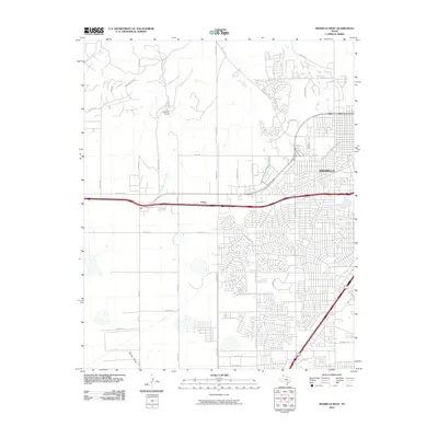
2010 Map of Amarillo West
USGS Topo · Published 2010About this map
Amarillo expands westward into the High Plains on this survey, where suburban development meets the sprawling ranch lands and arroyos of the Panhandle. The landscape is defined by the winding course of South Palo Duro Creek and the drainage of Spring Draw, which provide natural relief against the rigid grid of the city's growth. To the northwest, the Kiwanis Camp sits tucked away near the creek, while the historic transit corridor through Soncy serves as a primary artery for the region.
Find a feature on this map
38 named features on this map. Tap any name to fly to it.
Don’t see what you’re looking for? This feature index may not catch every label — zoom into the map to look around manually.
Map Details
Editions of this 2010 Amarillo West Map
This is the sole edition of this map. No revisions or reprints were ever made.
Other maps of this area

1934 · Ady
USGS Topo · 1:62,500

1934 · Cliffside
USGS Topo · 1:62,500

1936 · Cliffside
USGS Topo · 1:62,500

1936 · Ady
USGS Topo · 1:62,500

1953 · Pleasant Valley
USGS Topo · 1:24,000

1953 · Cliffside
USGS Topo · 1:24,000

1954 · Tucumcari
USGS Topo · 1:250,000

1954 · Amarillo
USGS Topo · 1:250,000

1956 · Amarillo East
USGS Topo · 1:24,000

1958 · Amarillo
USGS Topo · 1:250,000