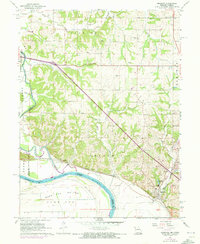
1961 Map of Amazonia
USGS Topo · Published 1973About this map
Amazonia and the settlement of Nodaway occupy the high ground and riverbanks overlooking the confluence of the Nodaway River and the Missouri River in the early 1960s. The landscape is defined by the flat expanse of Burr Oak Bottom to the south and the dissected loess hills to the north. This survey documents a critical period of transition for regional transportation, showing the legacy lines of the Chicago Burlington and Quincy railroad alongside newer infrastructure like Davis Roadside Park. Genealogists will find a cluster of family and community burial grounds throughout the rolling hills, including Old Union Cem, Hackberry Cem, and the Bennett Lace Cem. The presence of numerous quarries near the river indicates the active industrial use of the bluffs during this era.
Find a feature on this map
32 named features on this map. Tap any name to fly to it.
Don’t see what you’re looking for? This feature index may not catch every label — zoom into the map to look around manually.
Map Details
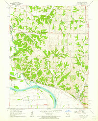
Editions of this 1961 Amazonia Map
2 editions found
Other maps of this area

1885 · Atchison
USGS Topo · 1:125,000

1888 · Atchison
USGS Topo · 1:125,000

1893 · Atchison
USGS Topo · 1:125,000

1924 · St. Joseph
USGS Topo · 1:62,500

1926 · Saint Joseph
USGS Topo · 1:62,500

1926 · Oregon
USGS Topo · 1:62,500

1926 · Maitland
USGS Topo · 1:62,500

1927 · Bolckow
USGS Topo · 1:62,500

1945 · Bolckow
USGS Topo · 1:62,500

1950 · Kansas City
USGS Topo · 1:250,000