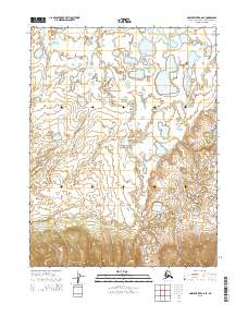
2015 Map of Ambler River A-6 SE
USGS Topo · Published 2015About this map
Kobuk Valley National Park dominates this Arctic landscape, where the northern drainage patterns of the Waring Mountains meet a complex network of wetlands and tundra. The topographic survey reveals a series of meandering waterways, including Niaktuuk Cr and Ahnewetut Cr, which navigate through a dense concentration of thaw lakes and ponds typical of the Brooks Range foothills. These seasonal and perennial water systems shape the migratory corridors and natural boundaries within this protected wilderness area. The southern margin of the map is defined by the rising elevations of the Waring Mountains, providing a stark contrast to the lake-strewn flats to the north. This 2015 data from the U.S. Geological Survey preserves the specific hydrographic state of the region's permafrost-influenced terrain before further shifts in the Arctic climate.
Find a feature on this map
8 named features on this map. Tap any name to fly to it.
Don’t see what you’re looking for? This feature index may not catch every label — zoom into the map to look around manually.
Map Details
Editions of this 2015 Ambler River A-6 SE Map
This is the sole edition of this map. No revisions or reprints were ever made.
Other maps of this area

1951 · Shungnak
USGS Topo · 1:250,000

1951 · Ambler River
USGS Topo · 1:250,000

1955 · Shungnak
USGS Topo · 1:250,000

1955 · Ambler River A-6
USGS Topo · 1:63,360

1955 · Shungnak D-6
USGS Topo · 1:63,360

1955 · Shungnak D-5
USGS Topo · 1:63,360

1955 · Ambler River A-5
USGS Topo · 1:63,360

1956 · Ambler River
USGS Topo · 1:250,000

1964 · Shungnak
USGS Topo · 1:250,000

1964 · Ambler River
USGS Topo · 1:250,000