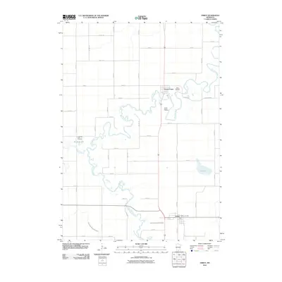
2010 Map of Amboy
USGS Topo · Published 2010About this map
The Blue Earth River carves a winding path through this agricultural landscape in southern Blue Earth County, anchoring the settlements of Vernon Center and Amboy. The river's meanders create a complex riparian corridor that contrasts with the strict grid of rural township roads like TWP HWY 85 and County Hwy 10. Local history is preserved in several burial grounds, including Saint Matthews Cemetery, the Vernon Center Cemetery, and the Old Willow Creek Cemetery situated near the confluence of Willow Creek and the river. Water management is a defining feature of the area's development, evidenced by the long reach of Judicial Ditch Number Twentyfour, which drains the fields west of the main river valley. Small water bodies like Ida Lake and Reinke Slough provide distinct landmarks within this productive farming region.
Find a feature on this map
47 named features on this map. Tap any name to fly to it.
Don’t see what you’re looking for? This feature index may not catch every label — zoom into the map to look around manually.
Map Details
Editions of this 2010 Amboy Map
This is the sole edition of this map. No revisions or reprints were ever made.
Other maps of this area

1951 · Mankato West
USGS Topo · 1:62,500

1953 · New Ulm
USGS Topo · 1:250,000

1954 · Fairmont
USGS Topo · 1:250,000

1957 · New Ulm
USGS Topo · 1:250,000

1958 · New Ulm
USGS Topo · 1:250,000

1958 · Fairmont
USGS Topo · 1:250,000

1965 · Perth
USGS Topo · 1:24,000

1967 · New Ulm
USGS Topo · 1:250,000

1967 · Truman SE
USGS Topo · 1:24,000

1967 · Winnebago
USGS Topo · 1:24,000