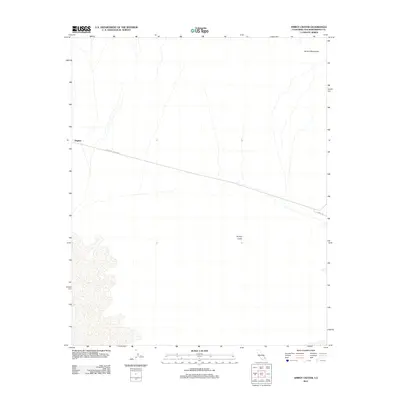
2012 Map of Amboy Crater
USGS Topo · Published 2012About this map
Amboy Crater dominates the southeastern quadrant of this desert landscape in San Bernardino County, a stark geologic feature surrounded by expansive wash systems. To the northwest, the settlement of Bagdad sits along the historic corridor of the National Trails Hwy, reflecting the mid-twentieth-century travel patterns of the Mojave Desert before modern interstate bypasses. The northern edge of the map is defined by the rising elevations of the Bristol Mountains, while the primary transit routes, including Amboy Rd, trace the natural contours of the valley floor. This 2012 survey provides a precise look at the sparse human footprint and enduring topography of a region synonymous with the classic American road trip era.
Find a feature on this map
5 named features on this map. Tap any name to fly to it.
Don’t see what you’re looking for? This feature index may not catch every label — zoom into the map to look around manually.
Map Details
Editions of this 2012 Amboy Crater Map
This is the sole edition of this map. No revisions or reprints were ever made.
Other maps of this area

1942 · Amboy
USGS Topo · 1:250,000

1943 · Amboy
USGS Topo · 1:250,000

1954 · Needles
USGS Topo · 1:250,000

1954 · Bristol Lake NW
USGS Topo · 1:24,000

1954 · Amboy Crater
USGS Topo · 1:24,000

1954 · Bagdad SW
USGS Topo · 1:24,000

1955 · Lead Mountain
USGS Topo · 1:24,000

1955 · Lead Mtn. NE
USGS Topo · 1:24,000

1955 · Lead Mountain
USGS Topo · 1:62,500

1956 · Needles
USGS Topo · 1:250,000