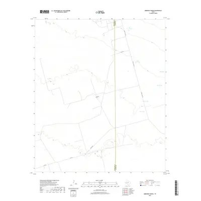
2019 Map of Amburgey Ranch
USGS Topo · Published 2019About this map
Amburgey Ranch sits within a landscape defined by the water management needs of the West Texas plains, where the Winkler Co Ector Co boundary line bisects the arid terrain. The map reveals a specialized infrastructure centered on livestock and land management, characterized by a series of named water catchments such as White Horse Tank, Big Tanks, and Cotter Tanks. These features, along with Bumper Tank and Ector Tank, signify the essential nature of surface water storage for ranching operations in this part of Ector County.
Find a feature on this map
11 named features on this map. Tap any name to fly to it.
Don’t see what you’re looking for? This feature index may not catch every label — zoom into the map to look around manually.
Map Details
Editions of this 2019 Amburgey Ranch Map
This is the sole edition of this map. No revisions or reprints were ever made.
Other maps of this area

1954 · Pecos
USGS Topo · 1:250,000

1957 · Pecos
USGS Topo · 1:250,000

1964 · Turnbaugh Corner
USGS Topo · 1:24,000

1964 · Metz
USGS Topo · 1:24,000

1964 · Red Lakes
USGS Topo · 1:24,000

1968 · Cowden Place
USGS Topo · 1:24,000

1968 · China Ranch
USGS Topo · 1:24,000

1971 · Notrees
USGS Topo · 1:24,000

1971 · Notrees NW
USGS Topo · 1:24,000
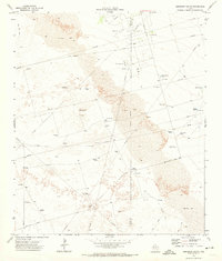
1971 · Amburgey Ranch
USGS Topo · 1:24,000