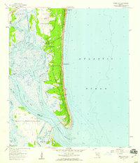
1958 Map of Amelia City
USGS Topo · Published 1959About this map
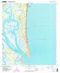
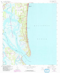
Amelia Island serves as the focal point of this coastal survey, showcasing a complex barrier island landscape just before the era of significant modern development. The map details the transition from the Atlantic Ocean beaches to the intricate marshlands of Mesa Marsh and the South Amelia River. Settlement patterns are concentrated along the north-south corridors of Amelia Road and the Buccaneer Trail, featuring the established communities of Amelia City, American Beach, and Franklintown.
Find a feature on this map
37 named features on this map. Tap any name to fly to it.
Don’t see what you’re looking for? This feature index may not catch every label — zoom into the map to look around manually.
Map Details
Editions of this 1958 Amelia City Map
6 editions found
Other maps of this area

1918 · St Marys
USGS Topo · 1:62,500

1918 · Jacksonville
USGS Topo · 1:62,500

1918 · Mayport
USGS Topo · 1:62,500

1919 · Fernandina
USGS Topo · 1:62,500

1919 · St Marys
USGS Topo · 1:62,500

1944 · Fernandina
USGS Topo · 1:62,500

1948 · Jacksonville
USGS Topo · 1:250,000

1948 · Eastport
USGS Topo · 1:24,000
1950 · Mayport
USGS Topo · 1:24,000
1950 · Eastport
USGS Topo · 1:24,000