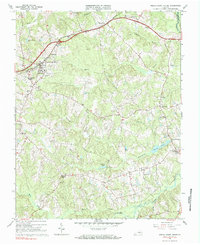
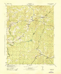
1966 Map of Amelia Court House
USGS Topo · Published 1984About this map
Amelia Court House serves as the focal point of this Virginia Piedmont landscape, where the Southern railroad line bisects the town and shapes local geography. The area's mid-century educational landscape is well-defined, featuring both Amelia Academy and Russell Grove High Sch, while the town outskirts include a Fairground, an Athletic Field, and a Drive-in Theater. Beyond the county seat, the terrain is defined by a dense network of country churches like Zion Hill Ch and Little Bethel Ch, along with small crossroads such as Scotts Fork and Wilsons Corner. Grounded by the flow of Smacks Creek and the Appomattox River at the northeastern corner, the map provides a look at the rural economy of the 1960s, evidenced by the presence of a Quarry and numerous small cemeteries like Big Oak Cem tucked away in the woodland.
Find a feature on this map
50 named features on this map. Tap any name to fly to it.
Don’t see what you’re looking for? This feature index may not catch every label — zoom into the map to look around manually.
Map Details
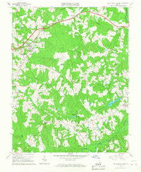
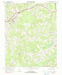
Editions of this 1966 Amelia Court House Map
Other maps of this area

1891 · Farmville
USGS Topo · 1:125,000

1893 · Farmville
USGS Topo · 1:125,000

1897 · Amelia
USGS Topo · 1:125,000

1943 · Amelia
USGS Topo · 1:31,680

1943 · Goodes Bridge
USGS Topo · 1:31,680

1943 · Clayville
USGS Topo · 1:24,000
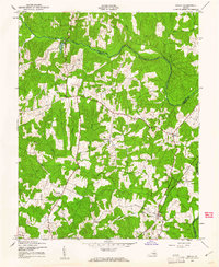
1943 · Chula
USGS Topo · 1:24,000

1943 · Richmond
USGS Topo · 1:250,000

1944 · Chula
USGS Topo · 1:31,680
1944 · Clayville
USGS Topo · 1:31,680