
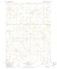
1981 Map of Amelia
USGS Topo · Published 1981About this map
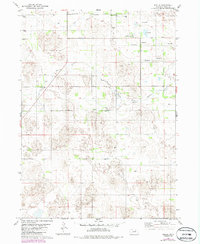
The settlement of Amelia serves as the focal point for this Holt County landscape, situated near the headwaters of the South Fork Elkhorn River. This 1981 survey illustrates a region defined by its groundwater resources and drainage patterns, specifically noting the seasonal Dry Creek and a significant concentration of artesian activity. The land is punctuated by numerous Flowing Wells, which historically supported the ranching and agricultural operations of the Nebraska Sandhills. Local community life is anchored by landmarks like Bethany Ch, providing a clear point of reference for genealogists tracking family roots in this rural township. The mapping also delineates the transition between range lines R 14 W and R 13 W, capturing the organized rural grid system that has governed the area's development since its initial settlement.
Find a feature on this map
9 named features on this map. Tap any name to fly to it.
Don’t see what you’re looking for? This feature index may not catch every label — zoom into the map to look around manually.
Map Details
Editions of this 1981 Amelia Map
2 editions found
Other maps of this area

1955 · O'Neill
USGS Topo · 1:250,000

1959 · O'Neill
USGS Topo · 1:250,000

1964 · Emmet SE
USGS Topo · 1:24,000

1964 · Emmet SW
USGS Topo · 1:24,000

1969 · O'Neill
USGS Topo · 1:250,000
1981 · Abbott Ranch
USGS Topo · 1:24,000

1981 · Swan Lake
USGS Topo · 1:24,000
1981 · Miles Ranch
USGS Topo · 1:24,000
1981 · Chain Lake
USGS Topo · 1:24,000
1981 · Chambers West
USGS Topo · 1:24,000