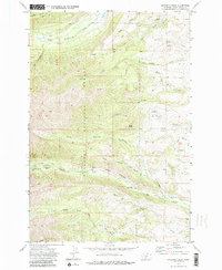
1972 Map of Amelong Creek
USGS Topo · Published 1986About this map
Gallatin National Forest terrain dominates this 1972 survey, illustrating a rugged landscape defined by the drainage basins of the Crazy Mountains. The map highlights the essential infrastructure of forest management and early recreation, including the Big Timber Guard Station and the Hall Moon Campground located along the upper reaches of Big Timber Creek. A complex network of Pack Trails and Jeep Trails provides access to the high-elevation backcountry, connecting landmarks like Black Butte and Wolf Park. Historically, the movement of water and livestock is evident in features such as the Stocker Ditch and numerous seasonal drainages like Dry Creek and South Amelong Creek. This sheet serves as a detailed record of the area before modern developments, capturing the specific geography of Sweet Grass Creek and the many forks of Otter Creek during a period of active wilderness management.
Find a feature on this map
24 named features on this map. Tap any name to fly to it.
Don’t see what you’re looking for? This feature index may not catch every label — zoom into the map to look around manually.
Map Details
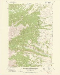
Editions of this 1972 Amelong Creek Map
2 editions found
Other maps of this area

1886 · Little Belt Mts.
USGS Topo · 1:250,000

1891 · Livingston
USGS Topo · 1:250,000

1893 · Livingston
USGS Topo · 1:250,000

1894 · Little Belt Mts.
USGS Topo · 1:250,000

1897 · Little Belt Mts.
USGS Topo · 1:250,000

1898 · Little Belt Mts.
USGS Topo · 1:250,000

1902 · Little Belt Mts.
USGS Topo · 1:250,000

1947 · Bozeman
USGS Topo · 1:250,000

1948 · Bozeman
USGS Topo · 1:250,000

1948 · White Sulphur Springs
USGS Topo · 1:250,000