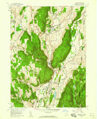
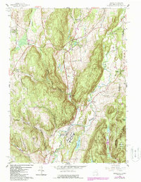
1958 Map of Amenia
USGS Topo · Published 1959About this map
Wassaic State School dominates the southern corridor of this mid-century landscape, positioned along the Tenmile River and the New York Central Railroad. The map reveals the settlement patterns of eastern Dutchess County just before modern expansion, with concentrated hamlets like Amenia, Wassaic, and South Amenia serving as local hubs. The terrain is defined by dramatic ridgelines such as Tower Hill and Cobble Mtn, which funnel transport and water through the valleys of Wassaic Creek and Webatuck Creek.
Find a feature on this map
53 named features on this map. Tap any name to fly to it.
Don’t see what you’re looking for? This feature index may not catch every label — zoom into the map to look around manually.
Map Details
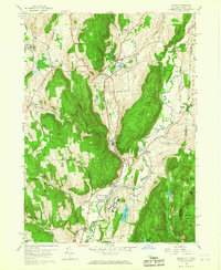
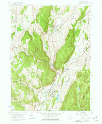
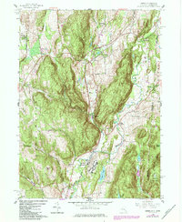
Editions of this 1958 Amenia Map
5 editions found
Other maps of this area

1892 · Cornwall
USGS Topo · 1:62,500

1892 · New Milford
USGS Topo · 1:62,500

1893 · New Milford
USGS Topo · 1:62,500

1893 · Cornwall
USGS Topo · 1:62,500

1893 · Clove
USGS Topo · 1:62,500

1894 · Clove
USGS Topo · 1:62,500

1898 · Clove
USGS Topo · 1:62,500

1899 · Millbrook
USGS Topo · 1:62,500

1901 · Clove
USGS Topo · 1:62,500

1902 · Millbrook
USGS Topo · 1:62,500