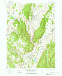
1958 Map of Amenia
USGS Topo · Published 1977About this map
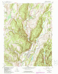
Amenia and the surrounding Harlem Valley show a landscape defined by the New York Central railroad and a series of rural hamlets during the late 1950s. The settlement pattern follows the valley floors, with Wassaic serving as a significant rail point and location for the sprawling Wassaic State School complex. To the east, the state boundary with Connecticut crosses through Amenia Union and into the wooded heights of Macedonia Brook State Park.
Find a feature on this map
45 named features on this map. Tap any name to fly to it.
Don’t see what you’re looking for? This feature index may not catch every label — zoom into the map to look around manually.
Map Details
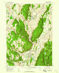
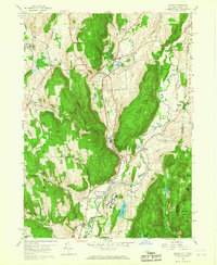
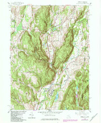
Editions of this 1958 Amenia Map
5 editions found
Other maps of this area

1892 · Cornwall
USGS Topo · 1:62,500

1892 · New Milford
USGS Topo · 1:62,500

1893 · New Milford
USGS Topo · 1:62,500

1893 · Cornwall
USGS Topo · 1:62,500

1893 · Clove
USGS Topo · 1:62,500

1894 · Clove
USGS Topo · 1:62,500

1898 · Clove
USGS Topo · 1:62,500

1899 · Millbrook
USGS Topo · 1:62,500

1901 · Clove
USGS Topo · 1:62,500

1902 · Millbrook
USGS Topo · 1:62,500