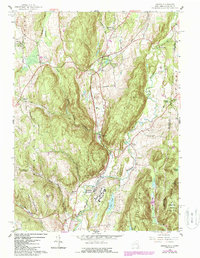
1958 Map of Amenia
USGS Topo · Published 1988About this map
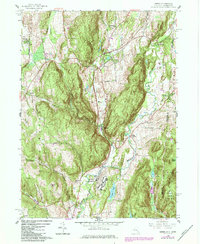
The Wassaic State School complex dominates the central valley where the Tenmile River meets the rail corridor, marking a significant era of institutional history in eastern Dutchess County. This 1958 landscape, updated with 1980s photorevisions, reveals a distinct pattern of valley settlements and upland ridges along the Connecticut border. The Conrail line tracks the narrow lowlands through Amenia and Wassaic, while historic hamlets like Lithgow and Amenia Union sit positioned along the flanking ridges of East Mtn and Tower Hill. Educational life is well-documented through several institutions, including the Millbrook Sch, Maplebrook Sch, and the local Bell Sch. The terrain is deeply grooved by hollows such as Turkey Hollow Brook and Butts Hollow Brook, which provide natural pathways for local roads like Mutton Hollow Road.
Find a feature on this map
50 named features on this map. Tap any name to fly to it.
Don’t see what you’re looking for? This feature index may not catch every label — zoom into the map to look around manually.
Map Details
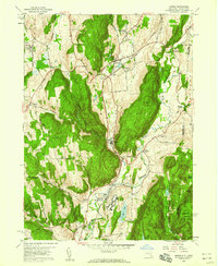
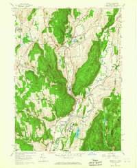
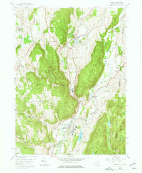
Editions of this 1958 Amenia Map
5 editions found
Other maps of this area

1892 · Cornwall
USGS Topo · 1:62,500

1892 · New Milford
USGS Topo · 1:62,500

1893 · New Milford
USGS Topo · 1:62,500

1893 · Cornwall
USGS Topo · 1:62,500

1893 · Clove
USGS Topo · 1:62,500

1894 · Clove
USGS Topo · 1:62,500

1898 · Clove
USGS Topo · 1:62,500

1899 · Millbrook
USGS Topo · 1:62,500

1901 · Clove
USGS Topo · 1:62,500

1902 · Millbrook
USGS Topo · 1:62,500