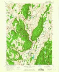
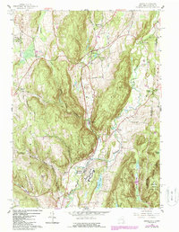
1958 Map of Amenia
USGS Topo · Published 1967About this map
Amenia and its surrounding hamlets serve as the focal point for this late 1950s survey of eastern Dutchess County, capturing the region just as the New York Central railroad continued to link these rural valley settlements. The landscape is defined by the significant footprint of the Wassaic State School along the Tenmile River, a major institution and employer for the local community during this era.
Find a feature on this map
53 named features on this map. Tap any name to fly to it.
Don’t see what you’re looking for? This feature index may not catch every label — zoom into the map to look around manually.
Map Details
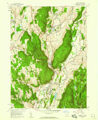
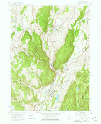
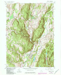
Editions of this 1958 Amenia Map
5 editions found
Other maps of this area

1892 · Cornwall
USGS Topo · 1:62,500

1892 · New Milford
USGS Topo · 1:62,500

1893 · New Milford
USGS Topo · 1:62,500

1893 · Cornwall
USGS Topo · 1:62,500

1893 · Clove
USGS Topo · 1:62,500

1894 · Clove
USGS Topo · 1:62,500

1898 · Clove
USGS Topo · 1:62,500

1899 · Millbrook
USGS Topo · 1:62,500

1901 · Clove
USGS Topo · 1:62,500

1902 · Millbrook
USGS Topo · 1:62,500