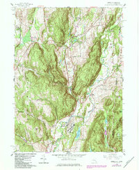
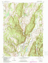
1958 Map of Amenia
USGS Topo · Published 1984About this map
Wassaic State School dominates the valley floor south of Wassaic, serving as a significant institutional landmark along the Tenmile River. This mid-century landscape in Dutchess Co County and bordering Litchfield Co County reveals a community defined by its watercourses and hollows. The settlement of Amenia sits at a central junction, while smaller hamlets like Lithgow and South Amenia are connected by a network of winding roads including Deep Hollow Road and Butts Hollow Road.
Find a feature on this map
40 named features on this map. Tap any name to fly to it.
Don’t see what you’re looking for? This feature index may not catch every label — zoom into the map to look around manually.
Map Details
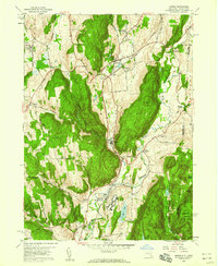
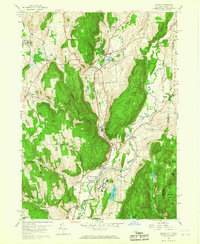
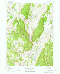
Editions of this 1958 Amenia Map
5 editions found
Other maps of this area

1892 · Cornwall
USGS Topo · 1:62,500

1892 · New Milford
USGS Topo · 1:62,500

1893 · New Milford
USGS Topo · 1:62,500

1893 · Cornwall
USGS Topo · 1:62,500

1893 · Clove
USGS Topo · 1:62,500

1894 · Clove
USGS Topo · 1:62,500

1898 · Clove
USGS Topo · 1:62,500

1899 · Millbrook
USGS Topo · 1:62,500

1901 · Clove
USGS Topo · 1:62,500

1902 · Millbrook
USGS Topo · 1:62,500