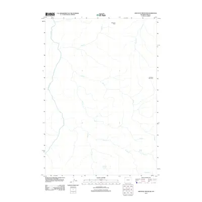
2012 Map of Amethyst Mountain
USGS Topo · Published 2012About this map
Amethyst Mountain and the prominent heights of Specimen Ridge anchor this 2012 survey of the high Wyoming backcountry. The landscape is defined by its hydrothermal and hydrologic features, most notably the thermal activity at Coffee Pot Hot Springs and the remote Rainbow Springs near the confluence of Shallow Cr and Wrong Cr. This terrain remains largely undeveloped, preserving a drainage system where Agate Cr, Amethyst Cr, and Deep Cr flow through deeply carved valleys toward the Yellowstone River. The lack of road infrastructure or human settlements on this sheet highlights the primitive character of this portion of Park County, where names like Burnt Cr and Quartz Cr hint at the mineralogical and environmental history of the region. This map serves as a primary record of the area's natural topography and water resources as they were documented in the early twenty-first century.
Find a feature on this map
13 named features on this map. Tap any name to fly to it.
Don’t see what you’re looking for? This feature index may not catch every label — zoom into the map to look around manually.
Map Details
Editions of this 2012 Amethyst Mountain Map
This is the sole edition of this map. No revisions or reprints were ever made.
Other maps of this area

1886 · Canyon
USGS Topo · 1:125,000

1895 · Canyon
USGS Topo · 1:125,000

1896 · Canyon
USGS Topo · 1:125,000

1901 · Canyon
USGS Topo · 1:125,000

1907 · Canyon
USGS Topo · 1:125,000

1911 · Canyon
USGS Topo · 1:125,000

1955 · Ashton
USGS Topo · 1:250,000

1958 · Ashton
USGS Topo · 1:250,000
1959 · Pelican Cone
USGS Topo · 1:62,500
1959 · Canyon Village
USGS Topo · 1:62,500