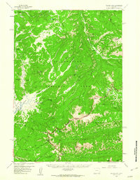
1959 Map of Pelican Cone
USGS Topo · Published 1960About this map
Hot Spring Basin Group and the surrounding thermal features define this high-altitude landscape within Yellowstone National Park. Mapped during the late 1950s, the terrain shows a primitive network of backcountry infrastructure, including the Fern Lake Patrol Cabin and Cold Creek Patrol Cabin. These structures, alongside the Pelican Springs Cabin, served as essential outposts for wilderness management before modern communications reached these heights.
Find a feature on this map
50 named features on this map. Tap any name to fly to it.
Don’t see what you’re looking for? This feature index may not catch every label — zoom into the map to look around manually.
Map Details
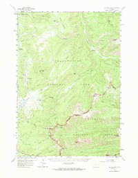
Editions of this 1959 Pelican Cone Map
2 editions found
Other maps of this area

1885 · Lake
USGS Topo · 1:125,000

1886 · Canyon
USGS Topo · 1:125,000

1893 · Ishawooa
USGS Topo · 1:125,000

1895 · Ishawooa
USGS Topo · 1:125,000

1895 · Canyon
USGS Topo · 1:125,000

1895 · Lake
USGS Topo · 1:125,000

1896 · Lake
USGS Topo · 1:125,000

1896 · Canyon
USGS Topo · 1:125,000

1896 · Crandall Creek
USGS Topo · 1:125,000

1899 · Crandall
USGS Topo · 1:125,000