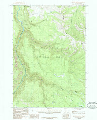
1986 Map of Amethyst Mountain
USGS Topo · Published 1986About this map
Specimen Ridge dominates this portion of Yellowstone National Park, showcasing a landscape shaped by geothermal activity and dramatic fluvial erosion. The Yellowstone River carves through the west, forming the iconic Grand Canyon of the Yellowstone, while numerous thermal features like Coffee Pot Hot Springs and the Hot Spring Basin Group punctuate the drainage basins. A primitive Pack Trail serves as the primary artery through the high country, crossing between Amethyst Mountain and the headwaters of Broad Creek. This 1980s-era survey captures the area’s hydrography in detail, from the aptly named Wrong Creek to the steady flow of Shallow Creek, illustrating the remote drainage patterns before modern environmental shifts altered these sensitive thermal zones.
Find a feature on this map
18 named features on this map. Tap any name to fly to it.
Don’t see what you’re looking for? This feature index may not catch every label — zoom into the map to look around manually.
Map Details
Editions of this 1986 Amethyst Mountain Map
This is the sole edition of this map. No revisions or reprints were ever made.
Other maps of this area

1886 · Canyon
USGS Topo · 1:125,000

1895 · Canyon
USGS Topo · 1:125,000

1896 · Canyon
USGS Topo · 1:125,000

1901 · Canyon
USGS Topo · 1:125,000

1907 · Canyon
USGS Topo · 1:125,000

1911 · Canyon
USGS Topo · 1:125,000

1955 · Ashton
USGS Topo · 1:250,000

1958 · Ashton
USGS Topo · 1:250,000
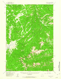
1959 · Pelican Cone
USGS Topo · 1:62,500
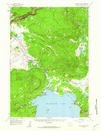
1959 · Canyon Village
USGS Topo · 1:62,500