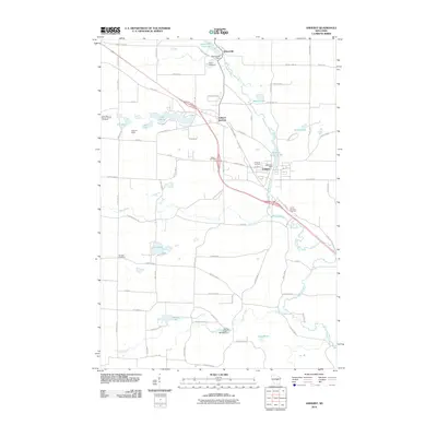
2010 Map of Amherst
USGS Topo · Published 2010About this map
The Tomorrow River and Waupaca River corridors define the landscape of this central Wisconsin region, where the villages of Nelsonville, Amherst Junction, and Amherst developed around water power and transportation. Dams at Nelsonville Dam and Amherst Dam created the local impoundments of Nelsonville Pond 69 and Amherst Millpond 90, which historically served as the industrial hearts of their respective communities. This 2010 map provides a clear picture of the area's transition from traditional river-town settlement to modern residential and recreational patterns, with numerous lakes such as Lake Emily, Meyers Lake, and Turtle Lake dotting the glaciated terrain.
Find a feature on this map
79 named features on this map. Tap any name to fly to it.
Don’t see what you’re looking for? This feature index may not catch every label — zoom into the map to look around manually.
Map Details
Editions of this 2010 Amherst Map
This is the sole edition of this map. No revisions or reprints were ever made.
Other maps of this area

1955 · Tigerton
USGS Topo · 1:48,000

1955 · Rosholt
USGS Topo · 1:48,000

1955 · Green Bay
USGS Topo · 1:250,000

1957 · Amherst
USGS Topo · 1:48,000

1957 · Waupaca
USGS Topo · 1:48,000
1969 · King
USGS Topo · 1:24,000
1969 · Blaine
USGS Topo · 1:24,000

1969 · New Hope
USGS Topo · 1:24,000

1969 · Arnott
USGS Topo · 1:24,000
1969 · Almond
USGS Topo · 1:24,000