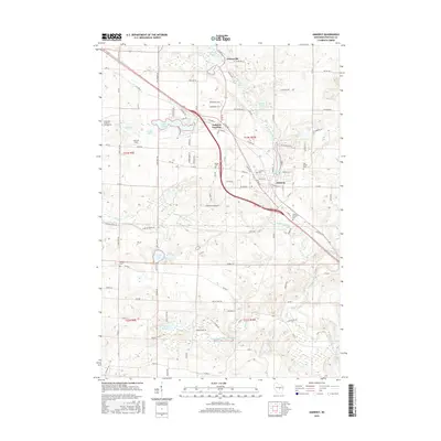
2015 Map of Amherst
USGS Topo · Published 2015About this map
The Tomorrow River flows southward through this Central Wisconsin landscape, connecting the village of Nelsonville to the industrial legacy of the Amherst Millpond in Amherst. This watershed-focused survey details a region defined by its glacial hydrology, featuring numerous named water bodies like Lake Emily, Turtle Lake, and the spring-fed Lake Lime. The rail-and-road corridor through Amherst Junction highlights the area's historical role as a transportation node. For those researching local lineages, the map identifies several burial grounds, including the Saint Mary of Mount Carmel Cem and the Oak Grove Cem. The presence of the Spring Creek Reservoir and various ponds reflects the continued management of the local waterways that once powered the village mills.
Find a feature on this map
107 named features on this map. Tap any name to fly to it.
Don’t see what you’re looking for? This feature index may not catch every label — zoom into the map to look around manually.
Map Details
Editions of this 2015 Amherst Map
This is the sole edition of this map. No revisions or reprints were ever made.
Other maps of this area

1955 · Tigerton
USGS Topo · 1:48,000

1955 · Rosholt
USGS Topo · 1:48,000

1955 · Green Bay
USGS Topo · 1:250,000

1957 · Amherst
USGS Topo · 1:48,000

1957 · Waupaca
USGS Topo · 1:48,000
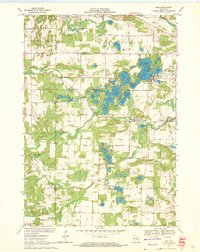
1969 · King
USGS Topo · 1:24,000
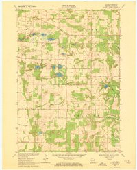
1969 · Blaine
USGS Topo · 1:24,000

1969 · New Hope
USGS Topo · 1:24,000

1969 · Arnott
USGS Topo · 1:24,000
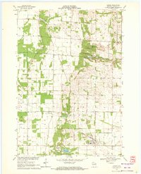
1969 · Almond
USGS Topo · 1:24,000