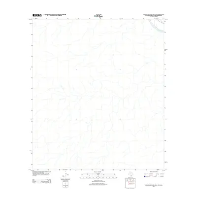
2013 Map of Amistad Dam OE S
USGS Topo · Published 2013About this map
The Rio Grande marks the defining natural and political boundary in the northeast corner of this arid landscape, located south of the Amistad Reservoir. The terrain is characterized by a high-frequency network of dry washes and arroyos that drain toward the river corridor, illustrating the complex drainage patterns common to the Texas-Coahuila borderlands. While the map is predominantly focused on the undeveloped landscape of the Coahuila region, the presence of the international boundary underscores the geographic isolation and geological character of the Trans-Pecos transition zone before it reaches the coastal plains.
Find a feature on this map
1 named feature on this map. Tap any name to fly to it.
Don’t see what you’re looking for? This feature index may not catch every label — zoom into the map to look around manually.
Map Details
Editions of this 2013 Amistad Dam OE S Map
This is the sole edition of this map. No revisions or reprints were ever made.
Other maps of this area

1943 · Devils River
USGS Topo · 1:62,500

1943 · Del Rio
USGS Topo · 1:62,500

1944 · Sycamore Ranch
USGS Topo · 1:62,500

1944 · Devils River
USGS Topo · 1:62,500

1958 · Del Rio
USGS Topo · 1:250,000

1964 · Del Rio
USGS Topo · 1:250,000

1972 · Amistad Dam
USGS Topo · 1:24,000

1972 · Del Rio SW
USGS Topo · 1:24,000
1972 · Del Rio NW
USGS Topo · 1:24,000
1985 · Amistad Village
USGS Topo · 1:100,000