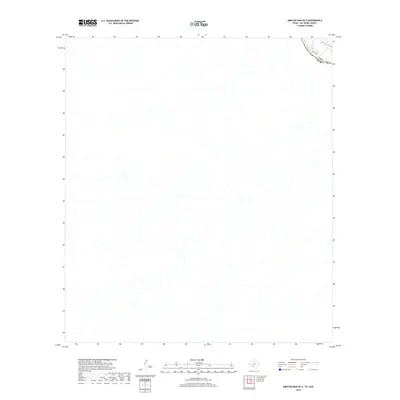
2019 Map of Amistad Dam OE S
USGS Topo · Published 2019About this map
The Rio Grande cuts through this borderlands region in the upper corner of the map, serving as the international boundary between the Usa and Mexico. While much of the landscape is defined by the drainage patterns and topography of Val Verde County, the road labeled Vega Verde provides the primary infrastructure for the area just north of the river. This 2019 survey documents the river's path and the surrounding terrain near the border, highlighting the transition from the upland geography to the river valley where the international line is situated.
Find a feature on this map
3 named features on this map. Tap any name to fly to it.
Don’t see what you’re looking for? This feature index may not catch every label — zoom into the map to look around manually.
Map Details
Editions of this 2019 Amistad Dam OE S Map
This is the sole edition of this map. No revisions or reprints were ever made.
Other maps of this area

1943 · Devils River
USGS Topo · 1:62,500

1943 · Del Rio
USGS Topo · 1:62,500

1944 · Sycamore Ranch
USGS Topo · 1:62,500

1944 · Devils River
USGS Topo · 1:62,500

1958 · Del Rio
USGS Topo · 1:250,000

1964 · Del Rio
USGS Topo · 1:250,000

1972 · Amistad Dam
USGS Topo · 1:24,000

1972 · Del Rio SW
USGS Topo · 1:24,000
1972 · Del Rio NW
USGS Topo · 1:24,000
1985 · Amistad Village
USGS Topo · 1:100,000