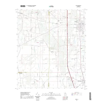
2020 Map of Amite
USGS Topo · Published 2020About this map
Amite City serves as the focal point of this Tangipahoa Parish study, anchored by the Tangipahoa Parish Courthouse and a dense network of municipal streets. The landscape is defined by the southward flow of the Natalbany River and its various tributaries, including the Little Natalbany River and Ponchatoula Cr. These waterways cut through a terrain marked by numerous small cemeteries that speak to the long-standing family settlements of the region, such as Gordon-Richardson Cem and Harris Chapel AME Zion Cem. To the south, the community of Independence marks the lower boundary of the quadrangle, connected to the parish seat by a significant transport corridor. The map details a transition from the urbanized blocks of Amite to more dispersed rural tracts, where features like Amite Memorial Gardens and McMichael Cem dot the countryside near Shiloh.
Find a feature on this map
156 named features on this map. Tap any name to fly to it.
Don’t see what you’re looking for? This feature index may not catch every label — zoom into the map to look around manually.
Map Details
Editions of this 2020 Amite Map
This is the sole edition of this map. No revisions or reprints were ever made.
Other maps of this area

1940 · Tickfaw
USGS Topo · 1:31,680

1940 · Roseland
USGS Topo · 1:31,680

1942 · Roseland
USGS Topo · 1:31,680

1942 · Montpelier
USGS Topo · 1:31,680

1942 · Loranger
USGS Topo · 1:31,680

1949 · Bolivar
USGS Topo · 1:31,680

1949 · Amite
USGS Topo · 1:31,680

1949 · Albany
USGS Topo · 1:31,680

1950 · Doyle
USGS Topo · 1:31,680

1950 · Greensburg
USGS Topo · 1:31,680