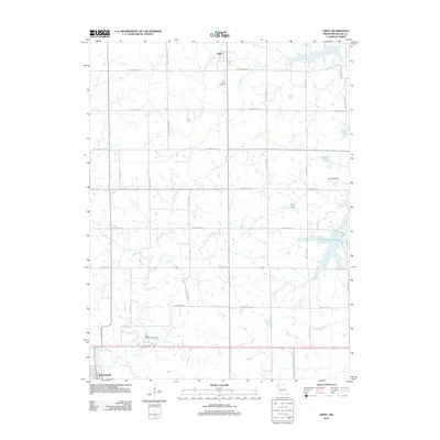
2012 Map of Amity
USGS Topo · Published 2012About this map
Stewartsville and the village of Amity define the residential landscape of this DeKalb County region, which is deeply rooted in Missouri's agricultural traditions. The terrain is structured by a methodical grid of rural roads, including SW Frank Ross Rd and SW McCartney Rd, which partition the land between several significant water bodies. Pony Express Lake and the West Fork Lost Creek drainage system highlight the importance of water management in this area, while the Little Platte River cuts across the southern portion of the sheet. Local landmarks such as the Amity Cemetery and the Far West Stake Campground provide specific points of interest for genealogists and local historians tracking family roots or community gatherings in the early 21st century. The presence of a small Landing Strip further indicates the practical, wide-spread nature of rural transport and connectivity in this part of the state.
Find a feature on this map
27 named features on this map. Tap any name to fly to it.
Don’t see what you’re looking for? This feature index may not catch every label — zoom into the map to look around manually.
Map Details
Editions of this 2012 Amity Map
This is the sole edition of this map. No revisions or reprints were ever made.
Other maps of this area

1923 · Clarksdale
USGS Topo · 1:62,500

1923 · Maysville
USGS Topo · 1:62,500

1925 · Gower
USGS Topo · 1:62,500

1925 · Clarksdale
USGS Topo · 1:62,500

1925 · Plattsburg
USGS Topo · 1:62,500

1925 · Maysville
USGS Topo · 1:62,500

1950 · Kansas City
USGS Topo · 1:250,000

1954 · Kansas City
USGS Topo · 1:250,000

1956 · Kansas City
USGS Topo · 1:250,000

1960 · Kansas City
USGS Topo · 1:250,000