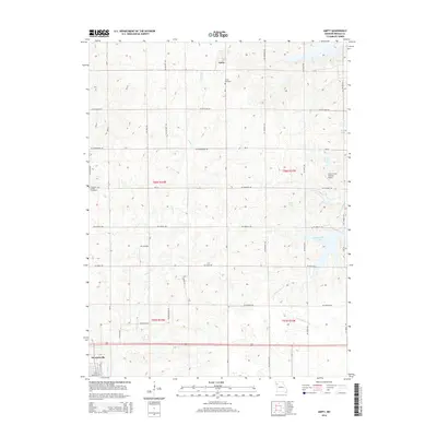
2014 Map of Amity
USGS Topo · Published 2014About this map
Amity and the northern edge of Stewartsville anchor this rural landscape in Northwest Missouri, where the headwaters of the Little Platte River and W Fork Lost Cr begin their southward descent. The terrain is defined by a dense network of gravel and secondary roads, such as SW McCarty Rd and SW Fairview RD, which reflect the persistent grid of the Public Land Survey System. Agricultural heritage is evident in the preservation of local burial grounds like Amity Cemetery and Pleasant Grove Cemetery, which provide vital touchstones for family historians and genealogists in DeKalb County.
Find a feature on this map
37 named features on this map. Tap any name to fly to it.
Don’t see what you’re looking for? This feature index may not catch every label — zoom into the map to look around manually.
Map Details
Editions of this 2014 Amity Map
This is the sole edition of this map. No revisions or reprints were ever made.
Other maps of this area

1923 · Clarksdale
USGS Topo · 1:62,500

1923 · Maysville
USGS Topo · 1:62,500

1925 · Gower
USGS Topo · 1:62,500

1925 · Clarksdale
USGS Topo · 1:62,500

1925 · Plattsburg
USGS Topo · 1:62,500

1925 · Maysville
USGS Topo · 1:62,500

1950 · Kansas City
USGS Topo · 1:250,000

1954 · Kansas City
USGS Topo · 1:250,000

1956 · Kansas City
USGS Topo · 1:250,000

1960 · Kansas City
USGS Topo · 1:250,000