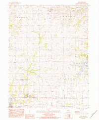
1983 Map of Amity
USGS Topo · Published 1984About this map
Amity and Stewartsville anchor this 1983 survey of DeKalb County, Missouri, depicting a landscape defined by agricultural tradition and the shifting infrastructure of the Midwest. The map reveals the evolution of transport through the presence of the Burlington Northern line in the south contrasted with an Old Railroad Grade running through the northern sections, tracing the path of defunct regional connections.
Find a feature on this map
21 named features on this map. Tap any name to fly to it.
Don’t see what you’re looking for? This feature index may not catch every label — zoom into the map to look around manually.
Map Details
Editions of this 1983 Amity Map
This is the sole edition of this map. No revisions or reprints were ever made.
Other maps of this area

1923 · Clarksdale
USGS Topo · 1:62,500

1923 · Maysville
USGS Topo · 1:62,500

1925 · Gower
USGS Topo · 1:62,500

1925 · Clarksdale
USGS Topo · 1:62,500

1925 · Plattsburg
USGS Topo · 1:62,500

1925 · Maysville
USGS Topo · 1:62,500

1950 · Kansas City
USGS Topo · 1:250,000

1954 · Kansas City
USGS Topo · 1:250,000

1956 · Kansas City
USGS Topo · 1:250,000

1960 · Kansas City
USGS Topo · 1:250,000