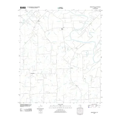
2010 Map of Ammannsville
USGS Topo · Published 2010About this map
Ammannsville and Holman serve as the primary hubs in this Fayette County landscape, where the meandering Colorado River defines the northeastern boundary. The terrain is deeply etched by a network of drainage systems, including Lane Pool Creek, Williams Creek, and Pecan Creek, which have historically dictated the placement of homesteads and connecting roads. Small communities such as Mullins Prairie and Cozy Corner are linked by a complex grid of local routes like Loehr RD and FM 155.
Find a feature on this map
52 named features on this map. Tap any name to fly to it.
Don’t see what you’re looking for? This feature index may not catch every label — zoom into the map to look around manually.
Map Details
Editions of this 2010 Ammannsville Map
This is the sole edition of this map. No revisions or reprints were ever made.
Other maps of this area

1919 · Fayettsville
USGS Topo · 1:62,500

1919 · Schulenburg
USGS Topo · 1:62,500

1953 · Seguin
USGS Topo · 1:250,000

1956 · Glidden
USGS Topo · 1:62,500

1956 · La Grange
USGS Topo · 1:62,500

1957 · Ellinger
USGS Topo · 1:24,000

1957 · La Grange East
USGS Topo · 1:24,000

1957 · Borden
USGS Topo · 1:24,000

1957 · Ammannsville
USGS Topo · 1:24,000

1958 · La Grange West
USGS Topo · 1:24,000