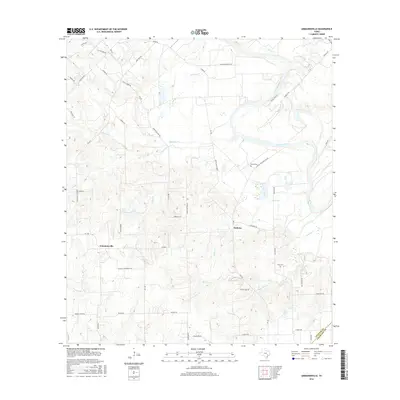
2016 Map of Ammannsville
USGS Topo · Published 2016About this map
Ammannsville and Holman anchor this Central Texas landscape where the flat river bottoms of the Colorado River meet the rising, dissected uplands of the Fayette and Colorado county line. The map reveals a deeply established rural network of family-named roads and loops, such as Anton Salas Loop and Mullins Prairie Loop, which navigate the various tributaries feeding the river. Genealogists will find significant local history in the presence of several small burial grounds, including Brandt Cem, Bittner Cem, and Shaw Cem. The drainage patterns of Jane Pool Cr and Pecan Cr illustrate the complex natural irrigation of these prairie lands, while the road names like Cattle Trail Ln hint at the area's agricultural and ranching heritage. This survey is a record of a quiet agricultural region defined more by its creek crossings and cemeteries than by urban expansion.
Find a feature on this map
53 named features on this map. Tap any name to fly to it.
Don’t see what you’re looking for? This feature index may not catch every label — zoom into the map to look around manually.
Map Details
Editions of this 2016 Ammannsville Map
This is the sole edition of this map. No revisions or reprints were ever made.
Other maps of this area

1919 · Fayettsville
USGS Topo · 1:62,500

1919 · Schulenburg
USGS Topo · 1:62,500

1953 · Seguin
USGS Topo · 1:250,000

1956 · Glidden
USGS Topo · 1:62,500

1956 · La Grange
USGS Topo · 1:62,500

1957 · Ellinger
USGS Topo · 1:24,000

1957 · La Grange East
USGS Topo · 1:24,000

1957 · Borden
USGS Topo · 1:24,000

1957 · Ammannsville
USGS Topo · 1:24,000

1958 · La Grange West
USGS Topo · 1:24,000