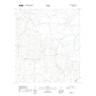
2019 Map of Ammannsville
USGS Topo · Published 2019About this map
The Colorado River meanders across the northern portion of this landscape, carving a wide floodplain through the rural reaches of Fayette County. This region is characterized by established farming communities and family-named landmarks that reflect a long history of local settlement. The unincorporated community of Ammannsville sits to the west, while Holman occupies a central position along FM 155. Small family and community burial grounds, including Brandt Cem, Shaw Cem, and Bittner Cem, are scattered throughout the countryside, serving as essential reference points for genealogists and local historians.
Find a feature on this map
57 named features on this map. Tap any name to fly to it.
Don’t see what you’re looking for? This feature index may not catch every label — zoom into the map to look around manually.
Map Details
Editions of this 2019 Ammannsville Map
This is the sole edition of this map. No revisions or reprints were ever made.
Other maps of this area

1919 · Fayettsville
USGS Topo · 1:62,500

1919 · Schulenburg
USGS Topo · 1:62,500

1953 · Seguin
USGS Topo · 1:250,000

1956 · Glidden
USGS Topo · 1:62,500

1956 · La Grange
USGS Topo · 1:62,500

1957 · Ellinger
USGS Topo · 1:24,000

1957 · La Grange East
USGS Topo · 1:24,000

1957 · Borden
USGS Topo · 1:24,000

1957 · Ammannsville
USGS Topo · 1:24,000

1958 · La Grange West
USGS Topo · 1:24,000