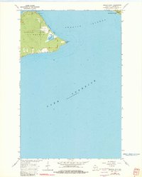
1964 Map of Amnicon Point
USGS Topo · Published 1982About this map
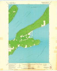
Madeline Island anchors this coastal survey, showcasing the northeastern tip of the largest of the Apostle Islands in Lake Superior. The landscape is defined by the prominent Amnicon Point and the sheltered Amnicon Bay, where the Indian River meets the lake. Topographic details reveal the complex shoreline of La Pointe TWP, including the dramatic Devils Cauldron and Steamboat Point near the island's northern edge. Inland, the map records the presence of Bog Lake and a Gravel Pit, signaling the local geography's utility. A portion of the La Pointe Indian Res Bdy is delineated near the point, providing a record of jurisdictional boundaries as they stood in the mid-1960s. Across the channel, the western tip of Michigan Island appears, illustrating the proximity of these island landforms.
Find a feature on this map
13 named features on this map. Tap any name to fly to it.
Don’t see what you’re looking for? This feature index may not catch every label — zoom into the map to look around manually.
Map Details
Editions of this 1964 Amnicon Point Map
2 editions found
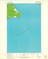
Other maps of this area

1943 · Little Girl Point
USGS Topo · 1:48,000

1943 · Odanah
USGS Topo · 1:48,000

1945 · Odanah
USGS Topo · 1:48,000

1953 · Ashland
USGS Topo · 1:250,000
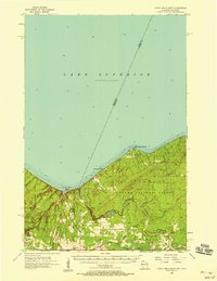
1956 · Little Girls Point
USGS Topo · 1:62,500

1958 · Ashland
USGS Topo · 1:250,000

1963 · Michigan Island
USGS Topo · 1:24,000

1963 · Oak Island
USGS Topo · 1:24,000
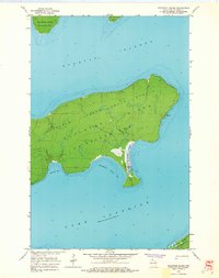
1963 · Stockton Island
USGS Topo · 1:24,000
1964 · Madeline Island
USGS Topo · 1:24,000