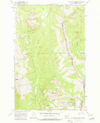
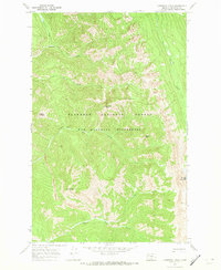
1970 Map of Amphitheatre Mountain
USGS Topo · Published 1978About this map
Chinese Wall serves as a massive limestone escarpment dominating this high-altitude landscape along the Continental Divide. This 1970 field-checked survey documents the complex intersection of the Bob Marshall Wilderness, the Flathead National Forest, and the Lewis and Clark National Forest. The map captures a topography defined by significant peaks and passes, including the high ridges of Amphitheatre Mountain and the strategic Larch Hill Pass.
Find a feature on this map
32 named features on this map. Tap any name to fly to it.
Don’t see what you’re looking for? This feature index may not catch every label — zoom into the map to look around manually.
Map Details
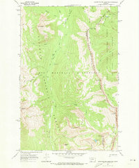
Editions of this 1970 Amphitheatre Mountain Map
2 editions found
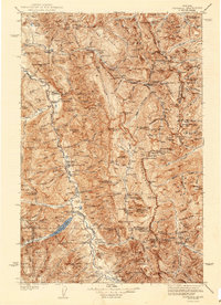
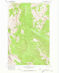
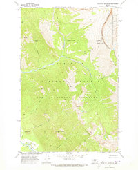
Other maps of this area

1936 · Silvertip
USGS Topo · 1:96,000
1942 · Silvertip
USGS Topo · 1:125,000

1955 · Choteau
USGS Topo · 1:250,000

1957 · Choteau
USGS Topo · 1:250,000

1958 · Choteau
USGS Topo · 1:250,000

1962 · Choteau
USGS Topo · 1:250,000
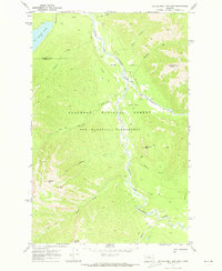
1970 · Big Salmon Lake East
USGS Topo · 1:24,000
1970 · Cathedral Peak
USGS Topo · 1:24,000
1970 · Prairie Reef
USGS Topo · 1:24,000
1970 · Haystack Mountain
USGS Topo · 1:24,000