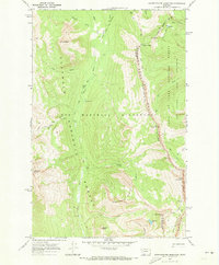
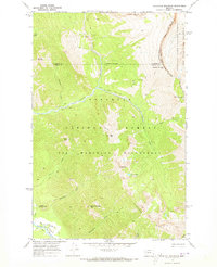
1970 Map of Amphitheatre Mountain
USGS Topo · Published 1973About this map
The Chinese Wall stands as the defining geologic feature of this 1970s survey, marking the dramatic Continental Divide that separates the Flathead National Forest from the Lewis and Clark National Forest. This high-altitude landscape is part of the protected Bob Marshall Wilderness, where travel is limited to primitive (Pack) Trails. The map illustrates a complex drainage system where the White River and its tributaries, such as Cliff Creek, carve through the mountainous terrain below prominent heights like Amphitheatre Mountain and Sphinx Peak.
Find a feature on this map
39 named features on this map. Tap any name to fly to it.
Don’t see what you’re looking for? This feature index may not catch every label — zoom into the map to look around manually.
Map Details
Editions of this 1970 Amphitheatre Mountain Map
2 editions found
Other maps of this area

1936 · Silvertip
USGS Topo · 1:96,000

1942 · Silvertip
USGS Topo · 1:125,000

1955 · Choteau
USGS Topo · 1:250,000

1957 · Choteau
USGS Topo · 1:250,000

1958 · Choteau
USGS Topo · 1:250,000

1962 · Choteau
USGS Topo · 1:250,000

1970 · Big Salmon Lake East
USGS Topo · 1:24,000
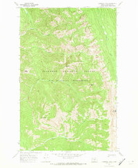
1970 · Cathedral Peak
USGS Topo · 1:24,000
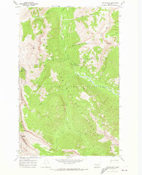
1970 · Prairie Reef
USGS Topo · 1:24,000
1970 · Haystack Mountain
USGS Topo · 1:24,000