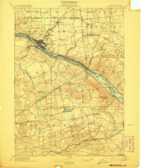
1895 Map of Amsterdam
USGS Topo · Published 1906About this map
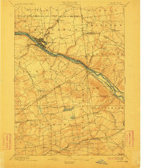
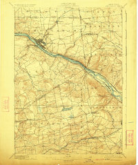
The Mohawk River corridor serves as the industrial and transportation backbone of this late-19th-century landscape, dominated by the growing city of Amsterdam. This survey captures a pivotal era when the Erie Canal still paralleled the river, supporting the development of communities like Port Jackson and Cranesville. North of the river, the textile and milling center at Hagaman is fed by the Chuctanunda Creek, while to the south, the terrain transitions into the agricultural uplands of Florida and Duanesburg. The map reveals a dense network of early rail infrastructure, including the West Shore R.R. and the New York Central and Hudson River R.R.. Local landmarks such as the Scotch Church and the recreational waters of Mariaville Pond provide essential points of reference for genealogists tracking family settlements in these historic Montgomery and Schenectady County townships.
Find a feature on this map
62 named features on this map. Tap any name to fly to it.
Don’t see what you’re looking for? This feature index may not catch every label — zoom into the map to look around manually.
Map Details
Editions of this 1895 Amsterdam Map
7 editions found
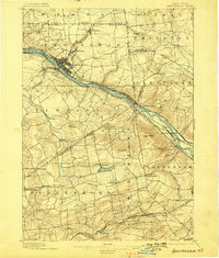
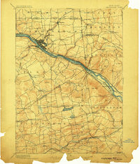
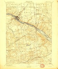
Other maps of this area

1893 · Schenectady
USGS Topo · 1:62,500

1893 · Albany
USGS Topo · 1:62,500

1895 · Albany
USGS Topo · 1:62,500

1895 · Schenectady
USGS Topo · 1:62,500

1895 · Amsterdam
USGS Topo · 1:62,500

1896 · Fonda
USGS Topo · 1:62,500

1898 · Schenectady
USGS Topo · 1:62,500

1898 · Albany
USGS Topo · 1:62,500

1898 · Fonda
USGS Topo · 1:62,500

1898 · Schoharie
USGS Topo · 1:62,500