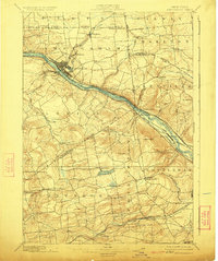
1895 Map of Amsterdam
USGS Topo · Published 1924About this map
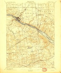
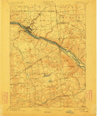
Mohawk River and the Erie Canal serve as the industrial and transportation spine for this region during the late 19th century, cutting through the heart of Amsterdam and Port Jackson. The landscape is a complex network of early infrastructure, where the New York Central and Hudson River R.R. and the West Shore R.R. parallel the water routes, facilitating the movement of goods and people between emerging manufacturing centers.
Find a feature on this map
60 named features on this map. Tap any name to fly to it.
Don’t see what you’re looking for? This feature index may not catch every label — zoom into the map to look around manually.
Map Details
Editions of this 1895 Amsterdam Map
7 editions found
Other maps of this area

1893 · Schenectady
USGS Topo · 1:62,500

1893 · Albany
USGS Topo · 1:62,500

1895 · Albany
USGS Topo · 1:62,500

1895 · Schenectady
USGS Topo · 1:62,500

1895 · Amsterdam
USGS Topo · 1:62,500

1896 · Fonda
USGS Topo · 1:62,500

1898 · Schenectady
USGS Topo · 1:62,500

1898 · Albany
USGS Topo · 1:62,500

1898 · Fonda
USGS Topo · 1:62,500

1898 · Schoharie
USGS Topo · 1:62,500