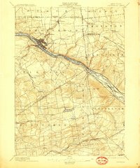
1895 Map of Amsterdam
USGS Topo · Published 1909About this map
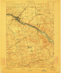
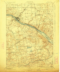
The industrial and transport corridors of the Mohawk Valley define this late 19th-century survey. Amsterdam serves as the primary urban hub, positioned where Chuctanunda Creek meets the Mohawk River. The landscape is bisected by competing modes of transportation, featuring the storied Erie Canal alongside the New York Central and Hudson River R. R. and the West Shore R. R.. Beyond the industrial riverfront, the map details a rural interior marked by hamlets like Minaville and Scotch Bush. Southward, the terrain rises toward Duanesburg, where the Delaware and Hudson Canal Co. rail lines cross. High-elevation landmarks such as Mariaville Pond and Featherstone Lake offer a contrast to the dense river-level activity. This survey captures a moment when traditional water-based commerce and the emerging dominance of the railroad existed side-by-side across Montgomery Co. and Schenectady Co..
Find a feature on this map
61 named features on this map. Tap any name to fly to it.
Don’t see what you’re looking for? This feature index may not catch every label — zoom into the map to look around manually.
Map Details
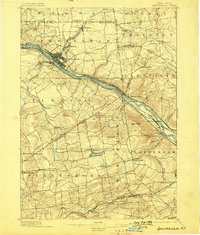
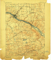
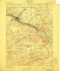
Editions of this 1895 Amsterdam Map
7 editions found
Other maps of this area

1893 · Schenectady
USGS Topo · 1:62,500

1893 · Albany
USGS Topo · 1:62,500

1895 · Albany
USGS Topo · 1:62,500

1895 · Schenectady
USGS Topo · 1:62,500

1895 · Amsterdam
USGS Topo · 1:62,500

1896 · Fonda
USGS Topo · 1:62,500

1898 · Schenectady
USGS Topo · 1:62,500

1898 · Albany
USGS Topo · 1:62,500

1898 · Fonda
USGS Topo · 1:62,500

1898 · Schoharie
USGS Topo · 1:62,500