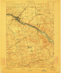
1895 Map of Amsterdam
USGS Topo · Published 1912About this map
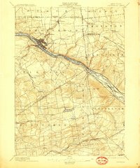
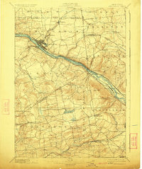
The Mohawk River valley serves as the industrial and transportation corridor for this region during the late 19th century, with the Erie Canal and competing rail lines hugging its banks. The city of Amsterdam is the focal point, showing a dense grid of development and an extension across the river into Port Jackson. Surrounding the river valley, the landscape is defined by agricultural townships like Florida, Princetown, and Duanesburg, where small hamlets such as Manny Corners and Scotch Bush anchor local communities.
Find a feature on this map
61 named features on this map. Tap any name to fly to it.
Don’t see what you’re looking for? This feature index may not catch every label — zoom into the map to look around manually.
Map Details
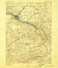
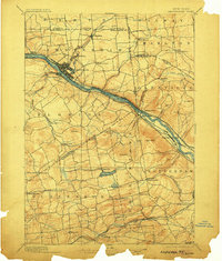
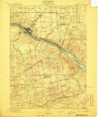
Editions of this 1895 Amsterdam Map
7 editions found
Other maps of this area

1893 · Schenectady
USGS Topo · 1:62,500

1893 · Albany
USGS Topo · 1:62,500

1895 · Albany
USGS Topo · 1:62,500

1895 · Schenectady
USGS Topo · 1:62,500

1895 · Amsterdam
USGS Topo · 1:62,500

1896 · Fonda
USGS Topo · 1:62,500

1898 · Schenectady
USGS Topo · 1:62,500

1898 · Albany
USGS Topo · 1:62,500

1898 · Fonda
USGS Topo · 1:62,500

1898 · Schoharie
USGS Topo · 1:62,500