
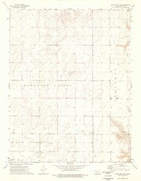
1974 Map of Amy SW
USGS Topo · Published 1976About this map
Pleasant Valley and Garfield townships characterize this section of the High Plains, where the terrain is defined by low-relief drainage patterns and seasonal water features. During the early 1970s, the landscape was primarily open country punctuated by agricultural infrastructure and localized industrial activity. The presence of Caliche Pits in the northeast quadrant indicates the extraction of calcium carbonate deposits, a common material used in local road construction across this arid region. The hydrology of the area is notably transient, featuring Dry Lake and numerous wells that highlight the importance of groundwater management in western Kansas. The boundary intersections of Scott, Lane, and Finney counties show how these administrative lines divide the vast, undulating prairie into a structured grid of sections and townships.
Find a feature on this map
11 named features on this map. Tap any name to fly to it.
Don’t see what you’re looking for? This feature index may not catch every label — zoom into the map to look around manually.
Map Details
Editions of this 1974 Amy SW Map
This is the sole edition of this map. No revisions or reprints were ever made.
Other maps of this area

1940 · Scott City
USGS Topo · 1:62,500

1944 · Tennis
USGS Topo · 1:62,500

1951 · Scott City
USGS Topo · 1:62,500

1955 · Scott City
USGS Topo · 1:250,000

1958 · Scott City
USGS Topo · 1:250,000
1974 · Scott City 4 NW
USGS Topo · 1:24,000

1974 · Amy SE
USGS Topo · 1:24,000

1974 · Scott City 4 NE
USGS Topo · 1:24,000

1974 · Grigston
USGS Topo · 1:24,000

1974 · Amy
USGS Topo · 1:24,000