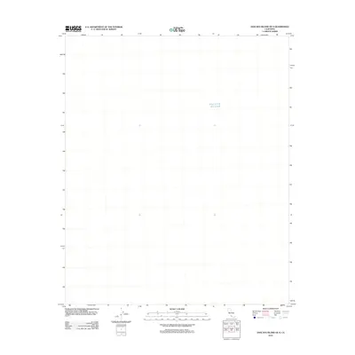
2012 Map of Anacapa Island OE S
USGS Topo · Published 2012About this map
The Pacific Ocean dominates this maritime expanse, located just south of the Channel Islands off the California coast. This 2012 survey represents an offshore section of the Santa Barbara Channel area, where the primary focus is the open water and maritime boundaries rather than terrestrial landmarks. The map captures the vast aquatic landscape as it appeared during a period of modern hydrographic documentation, providing a precise spatial context for the waters surrounding the offshore islands in Ventura County. While the sheet is devoid of landmasses, it serves as an essential record of the marine geography in this specific quadrant of the Pacific.
Find a feature on this map
1 named feature on this map. Tap any name to fly to it.
Don’t see what you’re looking for? This feature index may not catch every label — zoom into the map to look around manually.
Map Details
Editions of this 2012 Anacapa Island OE S Map
This is the sole edition of this map. No revisions or reprints were ever made.
Other maps of this area
1943 · Santa Cruz Island D
USGS Topo · 1:24,000

1949 · Los Angeles
USGS Topo · 1:250,000

1949 · Long Beach
USGS Topo · 1:250,000

1955 · Los Angeles
USGS Topo · 1:250,000

1957 · Long Beach
USGS Topo · 1:250,000

1958 · Long Beach
USGS Topo · 1:250,000

1959 · Los Angeles
USGS Topo · 1:250,000

1960 · Long Beach
USGS Topo · 1:250,000

1966 · Los Angeles
USGS Topo · 1:250,000
1975 · Los Angeles
USGS Topo · 1:250,000