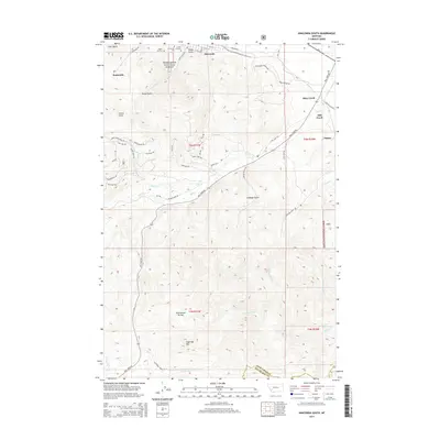
2014 Map of Anaconda South
USGS Topo · Published 2014About this map
Upper Hill Cem, Mt Carmel Cem, and Lower Hill Cem sit on the northern edge of this landscape, marking the historic cemetery complex south of Anaconda. The terrain transitions sharply from the industrial outskirts, characterized by Slag Rd and Smelter Rd, into the protected wilderness of the Deerlodge National Forest. This 2014 survey documents a complex network of recreational and access trails, including the Beaver Pond Trl and Alpha Code Trl, which navigate the high-elevation drainage of Mill Creek. To the south, the topographic focus shifts toward the Continental Divide and Sugarloaf Mtn, illustrating the divide between the Deer Lodge and Silver Bow county line. The map captures the interface between mining-era heritage near Sunnyside and the high-mountain geography of Cabbage Gulch and Glover Gulch.
Find a feature on this map
60 named features on this map. Tap any name to fly to it.
Don’t see what you’re looking for? This feature index may not catch every label — zoom into the map to look around manually.
Map Details
Editions of this 2014 Anaconda South Map
This is the sole edition of this map. No revisions or reprints were ever made.
Other maps of this area

1889 · Helena
USGS Topo · 1:250,000

1893 · Helena
USGS Topo · 1:250,000

1893 · Dillon
USGS Topo · 1:250,000

1899 · Helena
USGS Topo · 1:250,000

1903 · Helena
USGS Topo · 1:250,000

1908 · Philipsburg
USGS Topo · 1:125,000

1947 · Butte
USGS Topo · 1:250,000

1955 · Dillon
USGS Topo · 1:250,000

1957 · Dillon
USGS Topo · 1:250,000

1958 · Butte
USGS Topo · 1:250,000