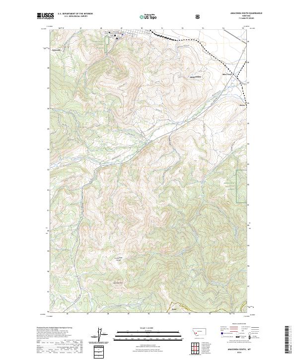
2024 Map of Anaconda South
USGS Topo · Published 2024About this map
The Deer Lodge Carmel County Courthouse and the historic burial grounds of Hill Cem and Lower Hill Cem anchor the northern landscape near Anaconda. This high-altitude terrain is defined by the Continental Divide winding through the southwestern portion of the sheet near Sugarloaf Mtn, separating the drainages of California Creek and Deep Creek from the northern waters. The industrial legacy of the region is evident in the dense network of trails and roads such as the Anaconda Smelter Rd and Rail Rod Loop Trl, which speak to the area's history of mineral extraction and transport. Small settlements like Sunnyside and Staton are situated along the lower elevations where Mill Creek and Willow Creek descend from the surrounding Deerlodge National Forest.
Find a feature on this map
58 named features on this map. Tap any name to fly to it.
Don’t see what you’re looking for? This feature index may not catch every label — zoom into the map to look around manually.
Map Details
Editions of this 2024 Anaconda South Map
This is the sole edition of this map. No revisions or reprints were ever made.
Other maps of this area

1889 · Helena
USGS Topo · 1:250,000

1893 · Helena
USGS Topo · 1:250,000

1893 · Dillon
USGS Topo · 1:250,000

1899 · Helena
USGS Topo · 1:250,000

1903 · Helena
USGS Topo · 1:250,000

1908 · Philipsburg
USGS Topo · 1:125,000

1947 · Butte
USGS Topo · 1:250,000

1955 · Dillon
USGS Topo · 1:250,000

1957 · Dillon
USGS Topo · 1:250,000

1958 · Butte
USGS Topo · 1:250,000