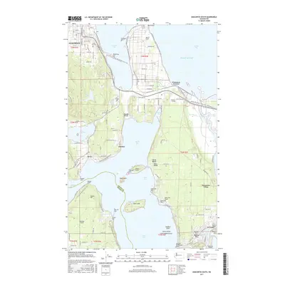
2017 Map of Anacortes South
USGS Topo · Published 2017About this map
Anacortes and the surrounding island topography are intricately detailed in this 2017 survey, highlighting the complex coastline of Fidalgo and Whidbey Islands. The map documents the residential and industrial corridors south of the city, extending from the refineries at March Point down to the historic waterfront of La Conner. Cultural landmarks like the Rainbow Bridge and Pioneer Park anchor the southeastern corner, while the Swinomish Village reflects the long-standing indigenous presence along the Swinomish Channel.
Find a feature on this map
123 named features on this map. Tap any name to fly to it.
Don’t see what you’re looking for? This feature index may not catch every label — zoom into the map to look around manually.
Map Details
Editions of this 2017 Anacortes South Map
This is the sole edition of this map. No revisions or reprints were ever made.
Other maps of this area

1911 · Mount Vernon
USGS Topo · 1:125,000
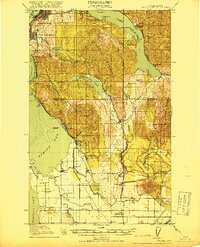
1918 · Samish Lake
USGS Topo · 1:62,500
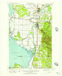
1940 · Mt Vernon
USGS Topo · 1:62,500
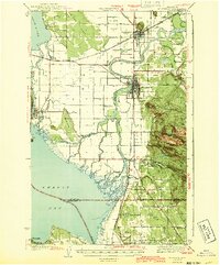
1943 · Mt Vernon
USGS Topo · 1:62,500
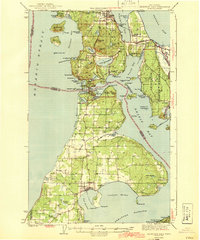
1943 · Deception Pass
USGS Topo · 1:62,500
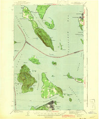
1943 · Anacortes
USGS Topo · 1:62,500
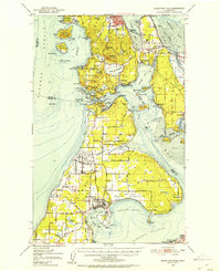
1951 · Deception Pass
USGS Topo · 1:62,500
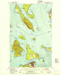
1951 · Anacortes
USGS Topo · 1:62,500
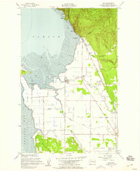
1954 · Bow
USGS Topo · 1:24,000
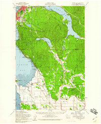
1954 · Samish Lake
USGS Topo · 1:62,500